 |
 |
 |
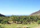
The left most picture above is taken looking down the valley towards the ocean. In ancient times, the swath of land from the mountain ridges, through the valley floor, to the ocean was referred to as an ahupua'a. In a literal translation, an ahupua`a is a land division marked by ahus (heaps of rocks or cairns) topped by a pua`a (a symbolic image of a pig) indicating a form of tribute due to the chief or konahiki of the ahupua`a.
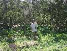
The middle image shows an example of dry land kalo (taro) used primarily in making taro chips.
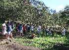
The photo on the right is a shot of my classmates. A better bunch of people you will not find. They are (left to right), Tommy, Paul, Keith, me, Chantalle, Tammy, RaeDeen, Nadine, Cecile, Morris, Glen (sitting), Troy, Leon, Erin, Dana, and Orhon.
|
|
|
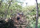
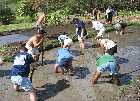
The middle image shows us digging up rocks which must be removed before the new kalo is planted. It is back breaking, dirty work but someone has to do it.<G>
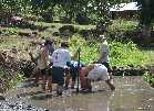
The picture on the right shows the guys working together to get a small boulder dislodged from the mud.
 |